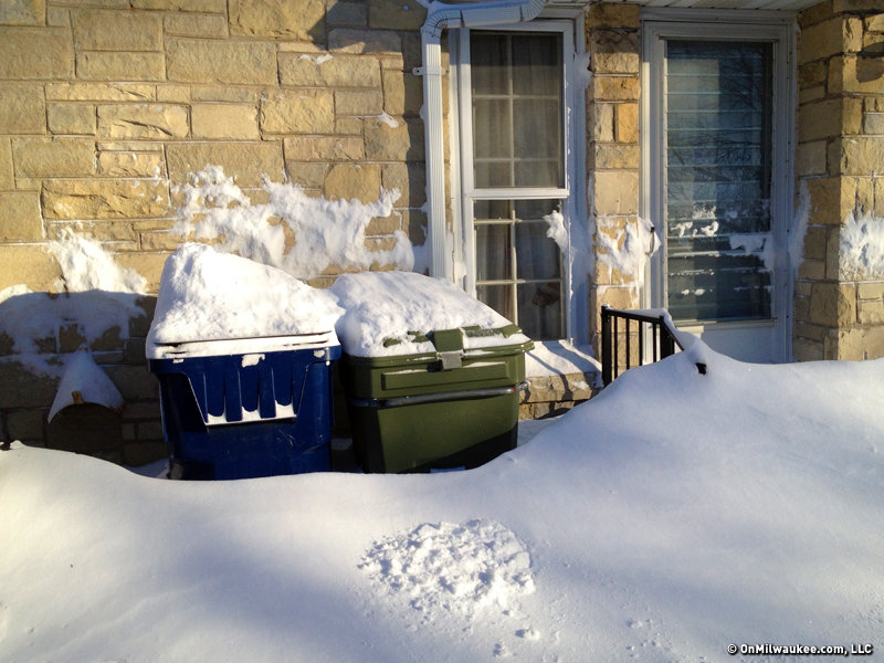
An updated outlook for this winter’s weather has been released by the National Weather Service’s Climate Prediction Center. For the purpose of this outlook, winter is defined as the months of December, January and February.
In short, there is no strong evidence to suggest Wisconsin’s temperatures or precipitation will be either above or below average.
The map below shows Wisconsin in the un-shaded, "equal chances" category for this winter’s temperatures. This means that there is not a strong or reliable enough signal to suggest temperatures will be above or below average. In other words, the chance of a warm winter and a cold winter is about this same.

The temperature outlook favors above average temperatures in the South and Southwest from Louisiana across Texas and into New Mexico. Above average temperatures are also favored in the far Northeast.
Conversely, the outlook favors below average temperatures in the north-central U.S. from Minnesota west across the Dakotas and into Montana.
Wisconsin also finds itself in the "equal chances" category on the map below for winter precipitation. Like temperatures, there is not strong enough evidence to suggest this winter will produce above or below average precipitation.
This only part of the country where the outlook favors above average precipitation is the northern Rockies, primarily across Montana. Meanwhile, below average precipitation is favored in the Southeast, especially across Florida, Georgia and South Carolina…and in the Southwest, especially across New Mexico.

Here's more from NOAA.
Craig is a meteorologist who was born and raised in Pewaukee. After getting a degree in Meteorology from the University of Wisconsin-Madison, he worked over 20 years on TV and radio in Milwaukee, Madison, Omaha, Nebraska and Kansas City, Missouri.
Craig spends most of his time trying to keep up with his bride and their three teenage daughters. Any time left over is spent with his other beloveds, the Packers, Brewers and Badgers.


